About This Product
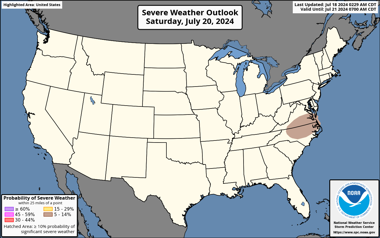
The Day 3 Probabilistic Severe Weather Outlook is issued as part of the Day 3 Severe Weather Outlook, issued by the National Weather Service's Storm Prediction Center twice daily in the early morning and afternoon. This map displays the expected probability of severe weather within 25 miles of a point.
Hatched areas indicate the maximum potential intensity of severe weather, should it occur:
- Dashed-line hatching indicates possible significant severe weather (EF2 or greater tornadoes, at least 75-mph thunderstorm wind gusts, and/or hail of at least 2 inches diameter).
- Solid hatching indicates a more dangerous environment capable of producing higher-end severe weather.
These probabilities are translated into the categorical Day 3 Severe Weather Outlook in accordance with the Probabilistic to Categorical Outlook Conversion Table.